There are plenty of glorious hikes around the world but here
are 3 easily achievable ones for the average hiker. If you’re looking for
something more adventurous (and lengthy), check out the page on Switzerland and
Haute route.
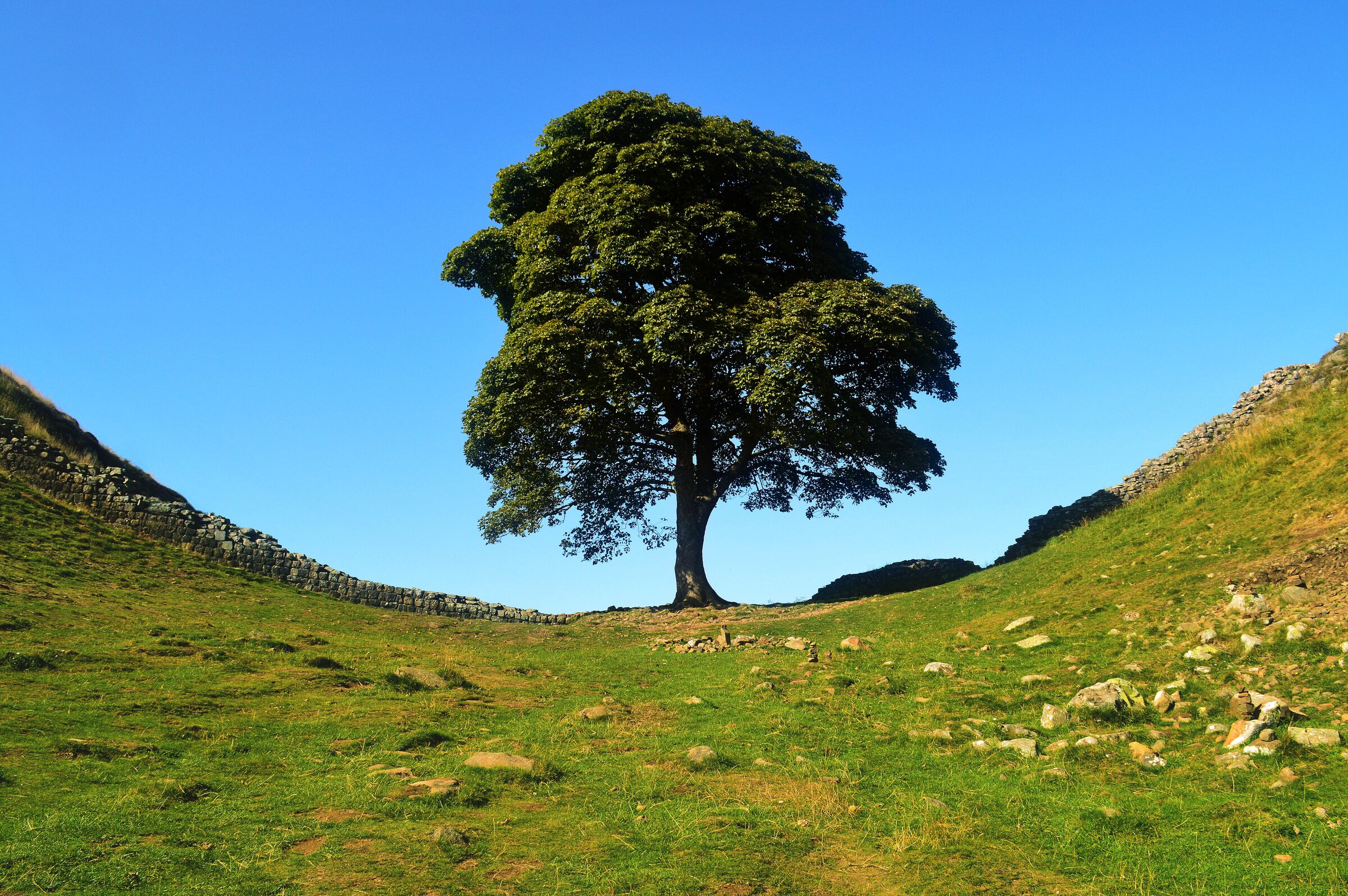
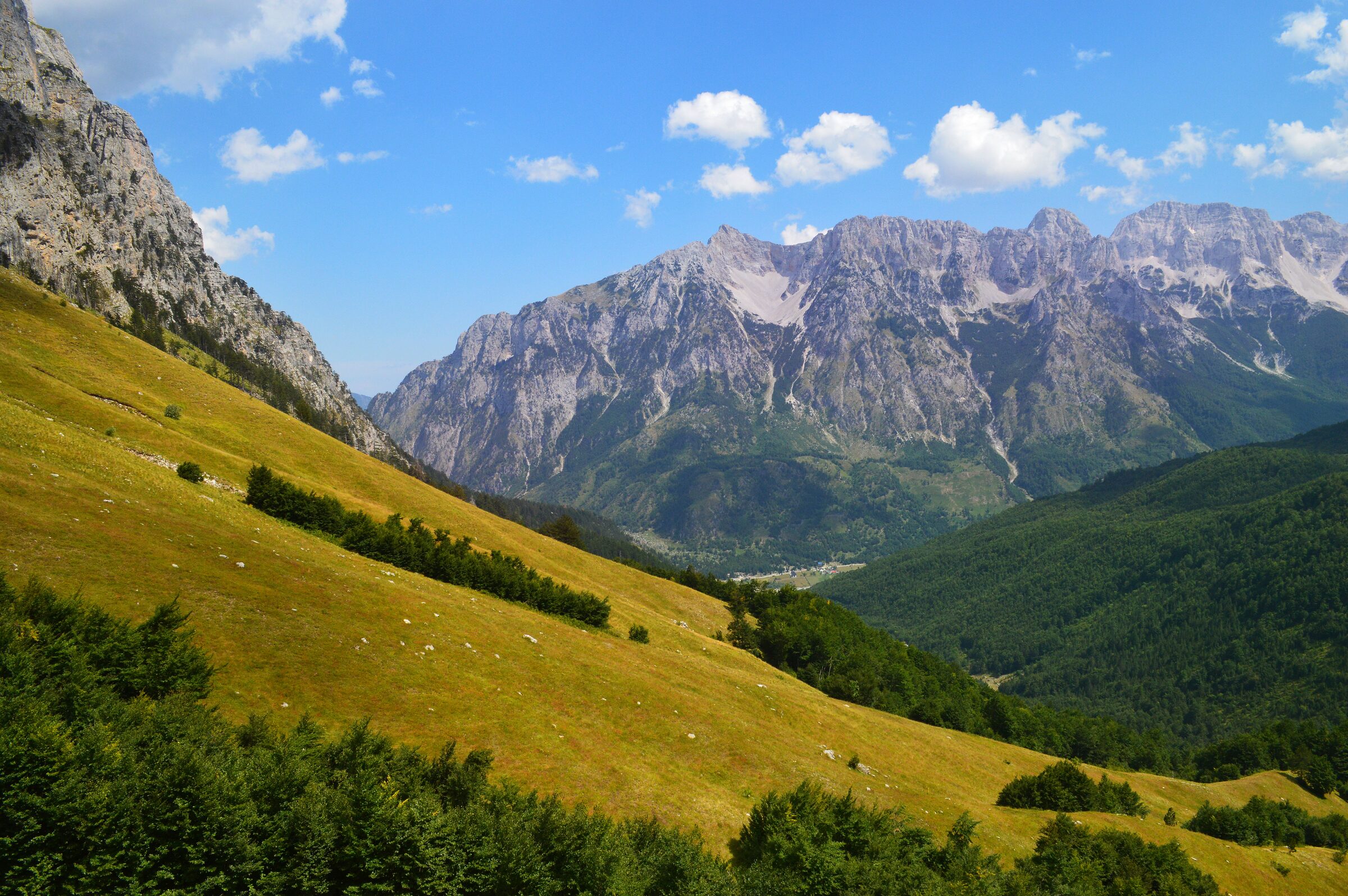
Sycamore Gap tree - England Valbonë Pass , Albania
3 - Valbonë Pass , Albania (1 day, 16km)
Having completed this spectacular 1-day hike twice (and in
both directions); I can say it is best to go from Valbonë to Theth rather than
the other way round so this article is based on that route. Getting to Valbonë to start with is tricky so if you haven’t
planned that bit yet, have a look at the Albania section of the website to read more
about how to get there as you’ll need to book a taxi, boat trip, taxi and
accommodation the night before. I’ll assume you’ve done that so we’ll start
from here: Valbonë.
Accursed mountains
Your trip will start somewhere near the western
edge of Valbonë and end in the village of Theth some 16km and 8-9
hours later. The trek-markers are really clear on this old donkey track and
there are numerous cafes
and drink
stops along the way. Make sure you take plenty of water with you though as
it gets really hot on the trek (30ºC by 11am during the summer).
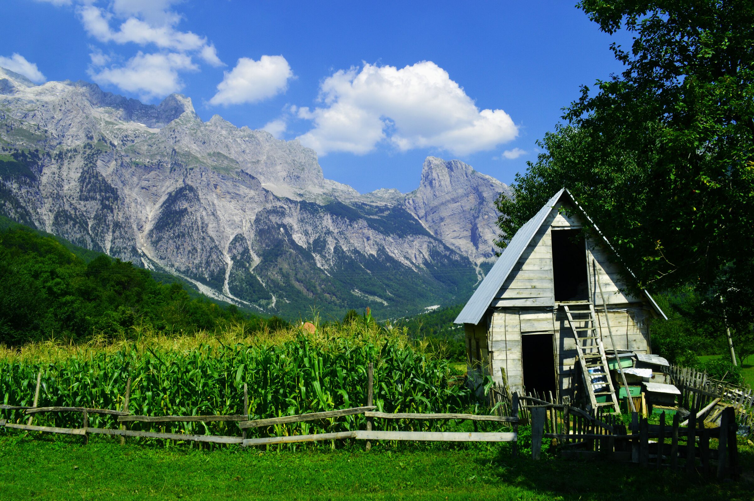
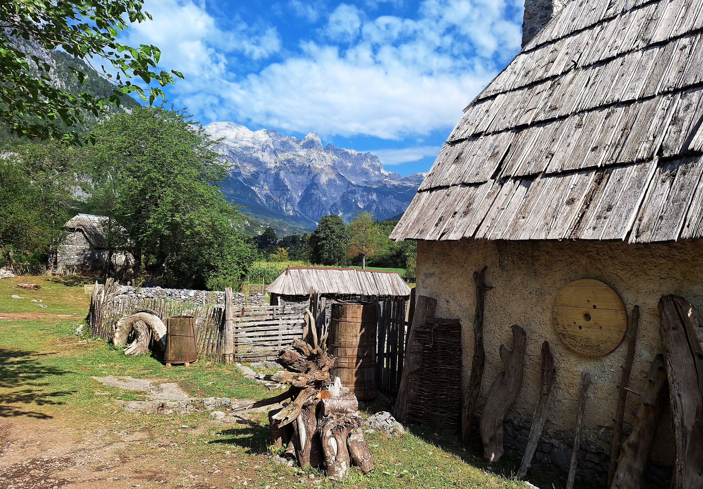
Valbonë pass farm house
After 45 minutes or so along the dried-up riverbed from Valbonë,
you’ll start a slow ascent up a path under some tree coverage and notice the
increase in signs pointing you in the right direction. The path gently winds
upwards to start with and if you start early enough in the morning, the fresh,
cool early mountain air makes it bearable. As you hike upwards, you’ll walk by
small farms and cottages with stunning views of the blue-tinted accursed
mountains in the background while sheep, goats and cows roam the fields around
you. Eventually the track will wind you round the mountain side until the
valley starts to appear beneath you. You’ll come across the ‘photo rock’ and a
little further on, the highest point Maja e Valbonës and the ‘epic
rock’ if you climb a little higher from the peak.
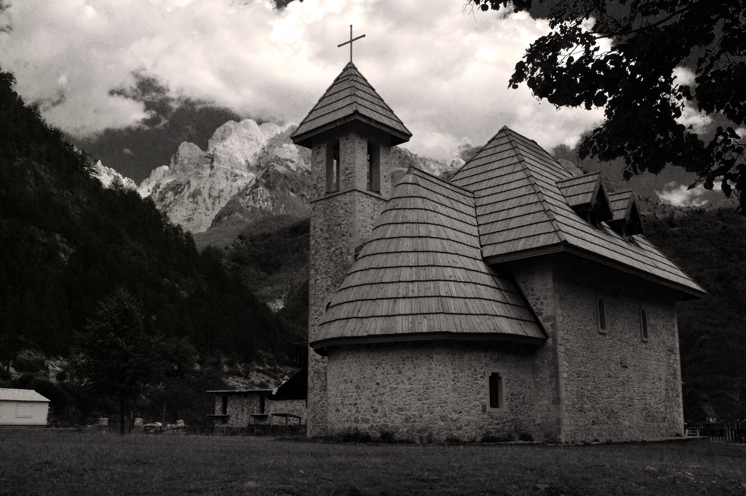
Theth church
After you’ve rested a while and enjoyed some well-earned
lunch, the way down to Theth offers incredible views of the valley and a walk
through flower meadows and open pastures of bright yellow and green grasses,
full of butterflies and birds. You’ll pass some quaint miniature waterfalls on
route before arriving at the head of the village in Theth via a dirt path,
walking towards the pretty Theth Church to the end of your hike and onwards to
your accommodation. One of the very best hikes in all of Europe, completed in
one day.
Hadrian's Wall hike
2 – Hadrian’s Wall – England (5 days, 135km)
Hadrian’s wall can be completed in either direction but
based on our experience of going from East to West it turns out we hiked it the
opposite way to most people. Still, this can be done either way and this is the
itinerary that take you from Newcastle to Carlisle. It is paramount that you book your accommodation in advance
of the trip. There are plenty of available places to stay, but most get booked
up in the summer months so be prepared. Have a look at how far you’d like to
walk each day and decide how many days you’ll need to complete the trip. If
you’re doing the whole thing from Wallsend to Bowness on-Solway, it is 135km in
total. Use this as a rough guide to help plan the trip:
5 days: 27km per day average
6 days: 22.5km per day average
7 days: 19km per day average
8 days: 16km per day average
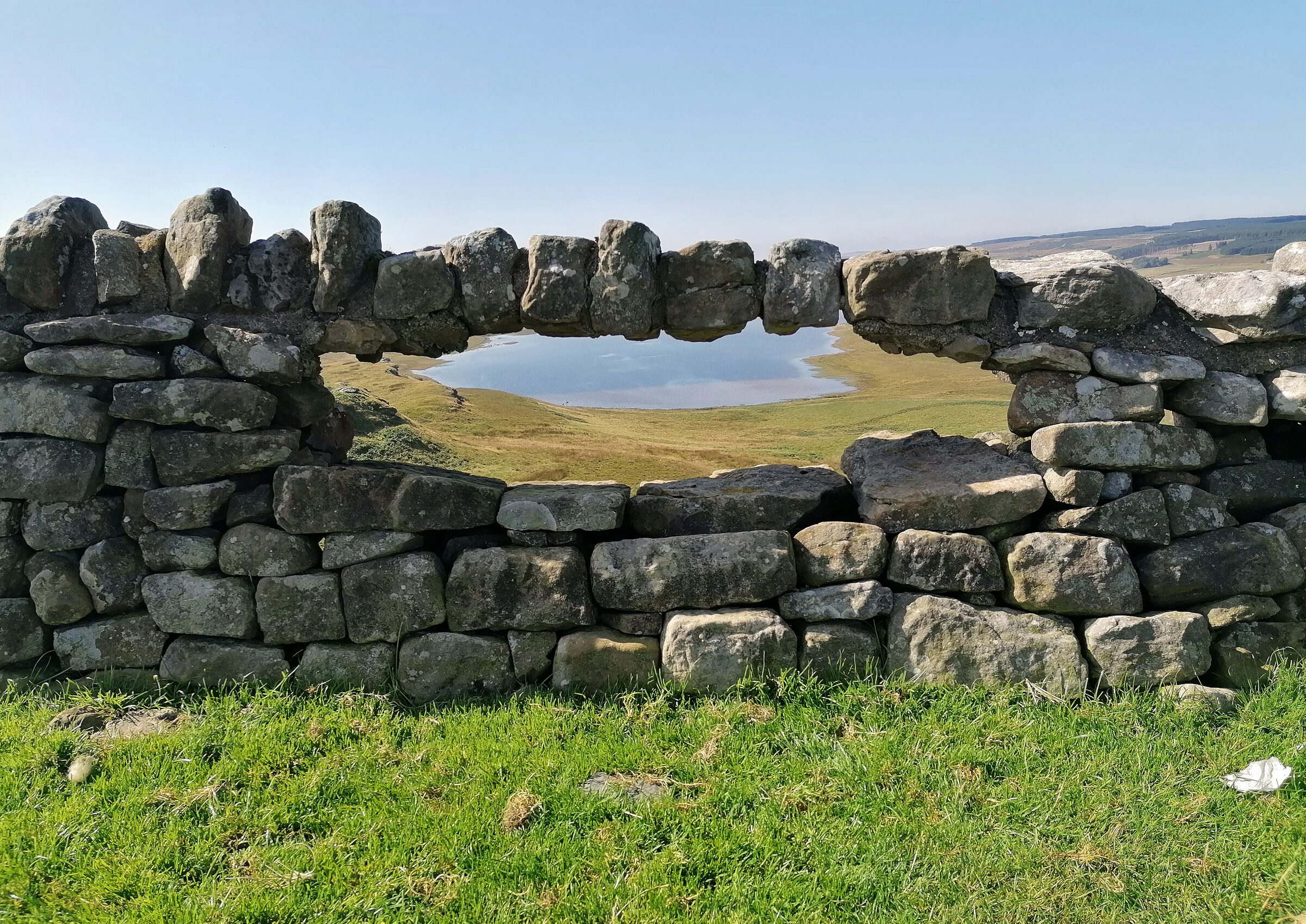
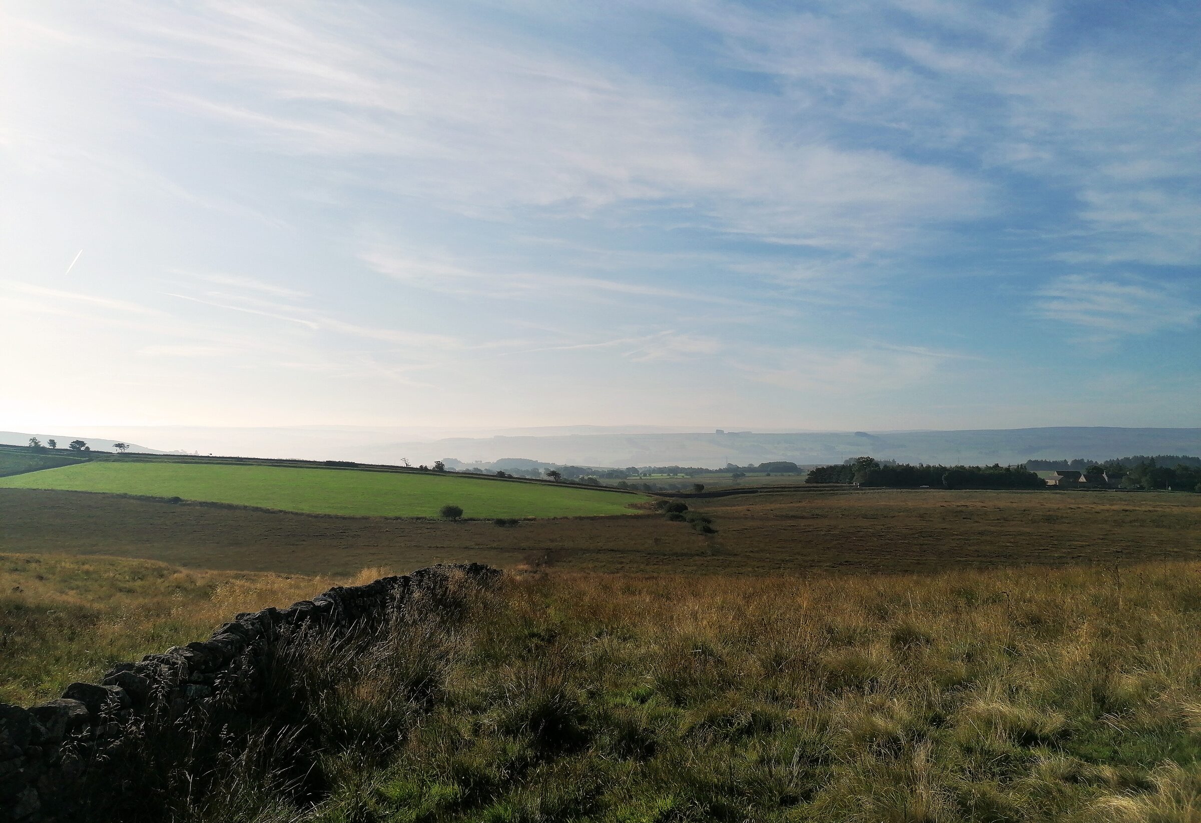
Hadrian's wall view
We cheated a bit. Given that the first 18km (and therefore
the entire first day) of the Hadrian’s wall hike involves walking across
Newcastle from Wallsend to Heddon on the Wall; we skipped that section and
started at Heddon. Purists will call me out on this decision, but we didn’t
have the time or inclination to walk across a busy city centre, so we started
where it got to landscapes and nature. This meant we managed to do the
remaining 110km over 5 days of walking with 4 night’s accommodation which
worked out at 22km per day on average. This is a rough distance per day to the
main villages and towns that had accommodation available, and some walks were
longer than stated as the B&Bs were outside of town. The 5-day hike option
also leaves a mammoth middle day which is also the hardest hiking day so be
warned!
Get a taxi to the start of the hike and
begin your journey. Given this is a very popular route and there’s (in some
places) a rather large wall leading you across the country in the right
direction; it is pretty easy to follow the trek. Just make sure the wall is on
your right at all times (if going from Newcastle, opposite applies if coming
from Carlisle).
Hadrian's wall - Day 1
Day 1 is filled with very easy-going track walking
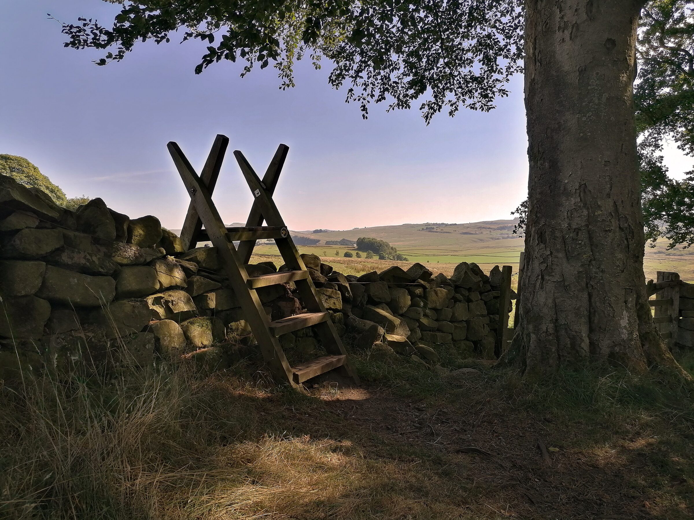
along fields with very little in the way of incline or demand. You’ll hop over
sties, walk along cow fields, follow old dry-stone walls and see the Roman
ruins at Corbridge(£11.50
entry) which is worth a stop and a picnic break. There are some sections of
this trek which involve walking down main roads which can be annoying and not
very picturesque but until the hills start to climb and you leave small towns
and villages; you’re stuck with them for a bit. Along the way you’ll see
English Heritage plaques describing what was once Roman dwellings which you can
stop and read if you’re interested in the history of the place. We stayed this
first night in a lovely little B&B on the outskirts of Hexham and our host
was very accommodating with driving us to the start of the walk the next day
which was a massive help.
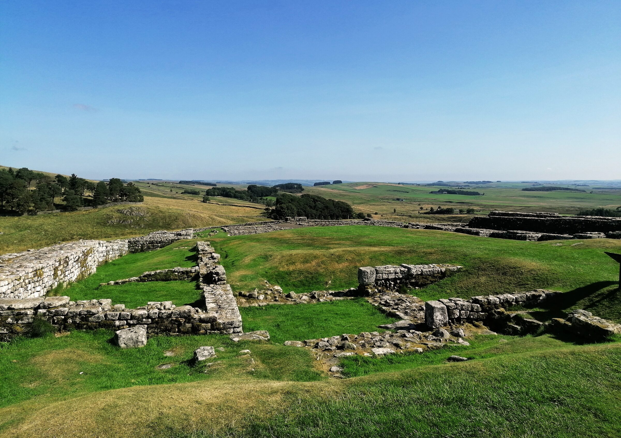
Roman ruins
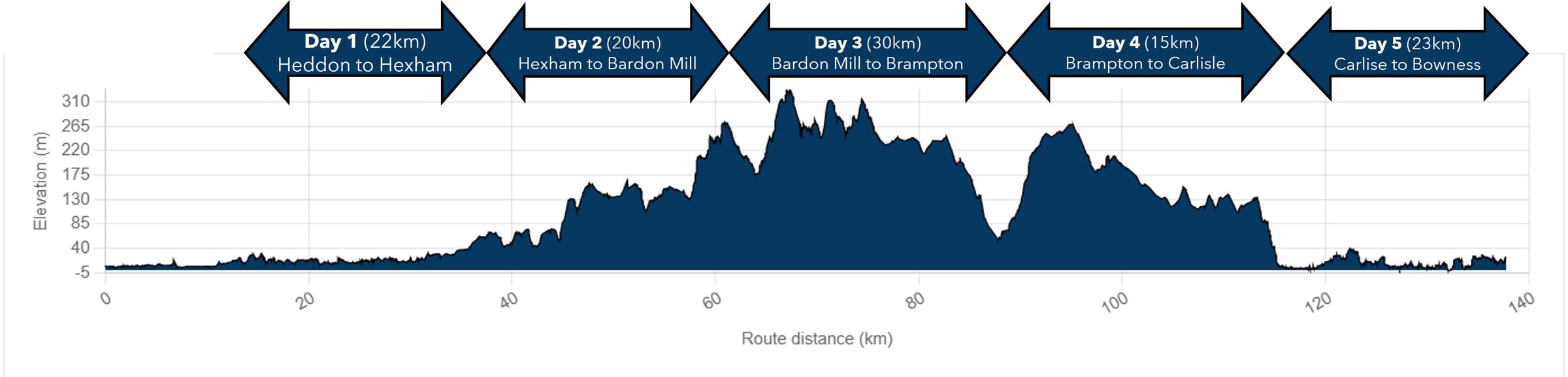
Day 2 is more interesting as you ascend 250m over the
day which brings with it more interesting views of the landscape and nature. The
hike itself is still easy as it isn’t too steep and acts as a good warm up to
day two of the trek. There are more visible parts of the wall here and you can
spend more time reading the heritage plaques where needed. We had favourable weather conditions so the beautiful blue sky helped with the
overall aesthetic of the 20km hike. If staying near Once Brewed rather than
directly in Bardon Mill, Vindolandais another Roman fortress (£15 entry) which can be accessed at the end
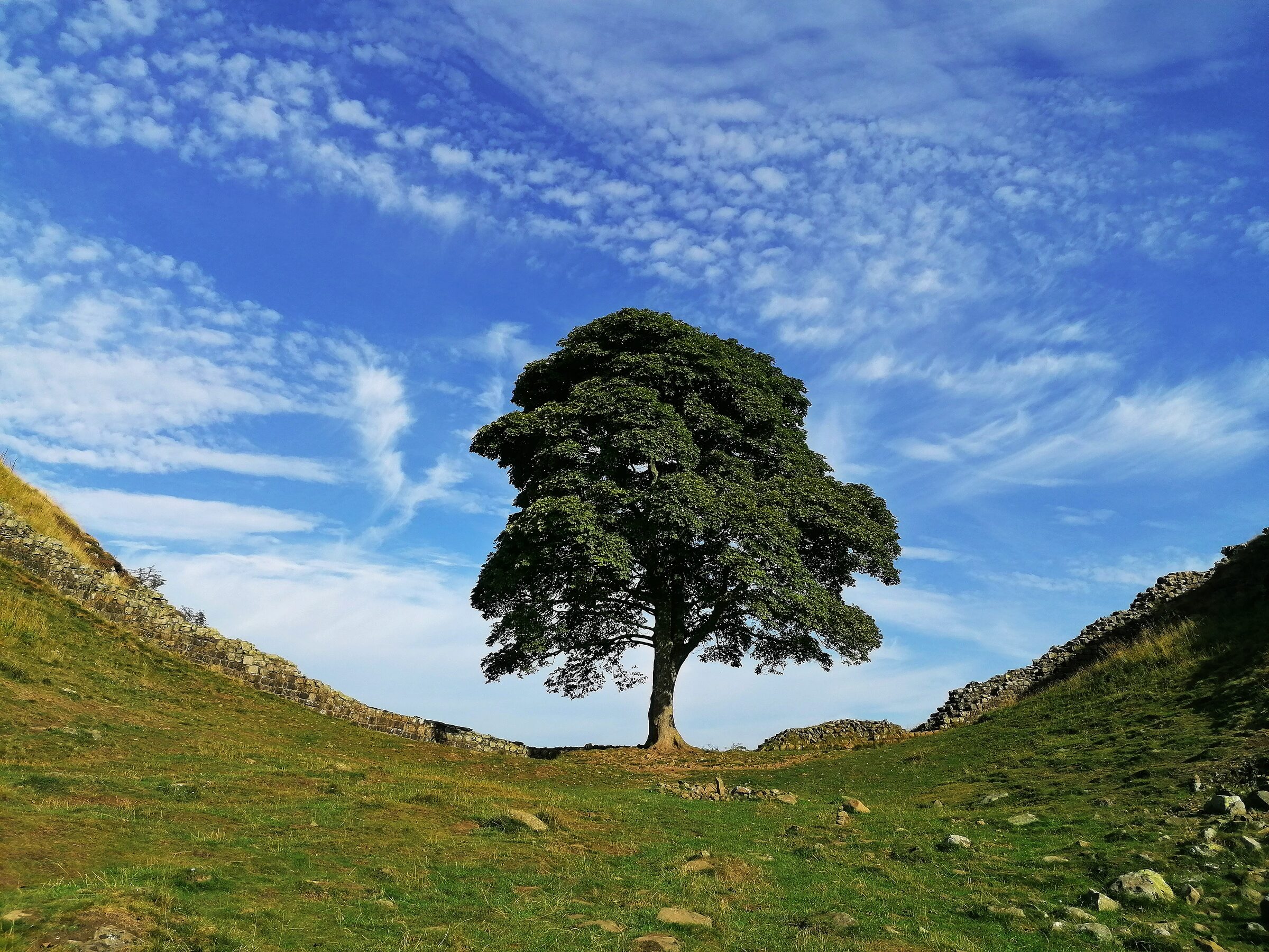
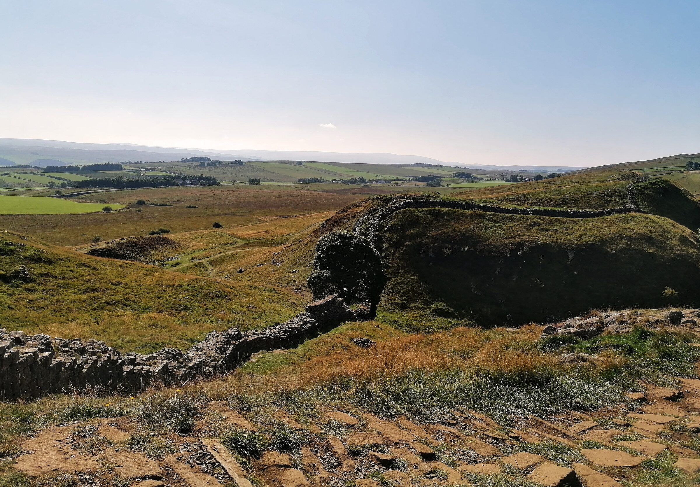
of the day’s hike. Of course, the main attraction here used to be the stunning
Sycamore Gap tree which was unfortunately and senselessly cut down in an act of
vandalism in
2023 meaning that sadly no one can enjoy the beautiful old tree any longer.
Sycamore Gap tree
Day 3 is the big one: a 30km hike over the highest
part of the route on (for us) the warmest day. We started by re-visiting the
Sycamore Gap tree as it was on the way but soon after you reach the highest
point of the trek where views over the countryside are breathtaking and
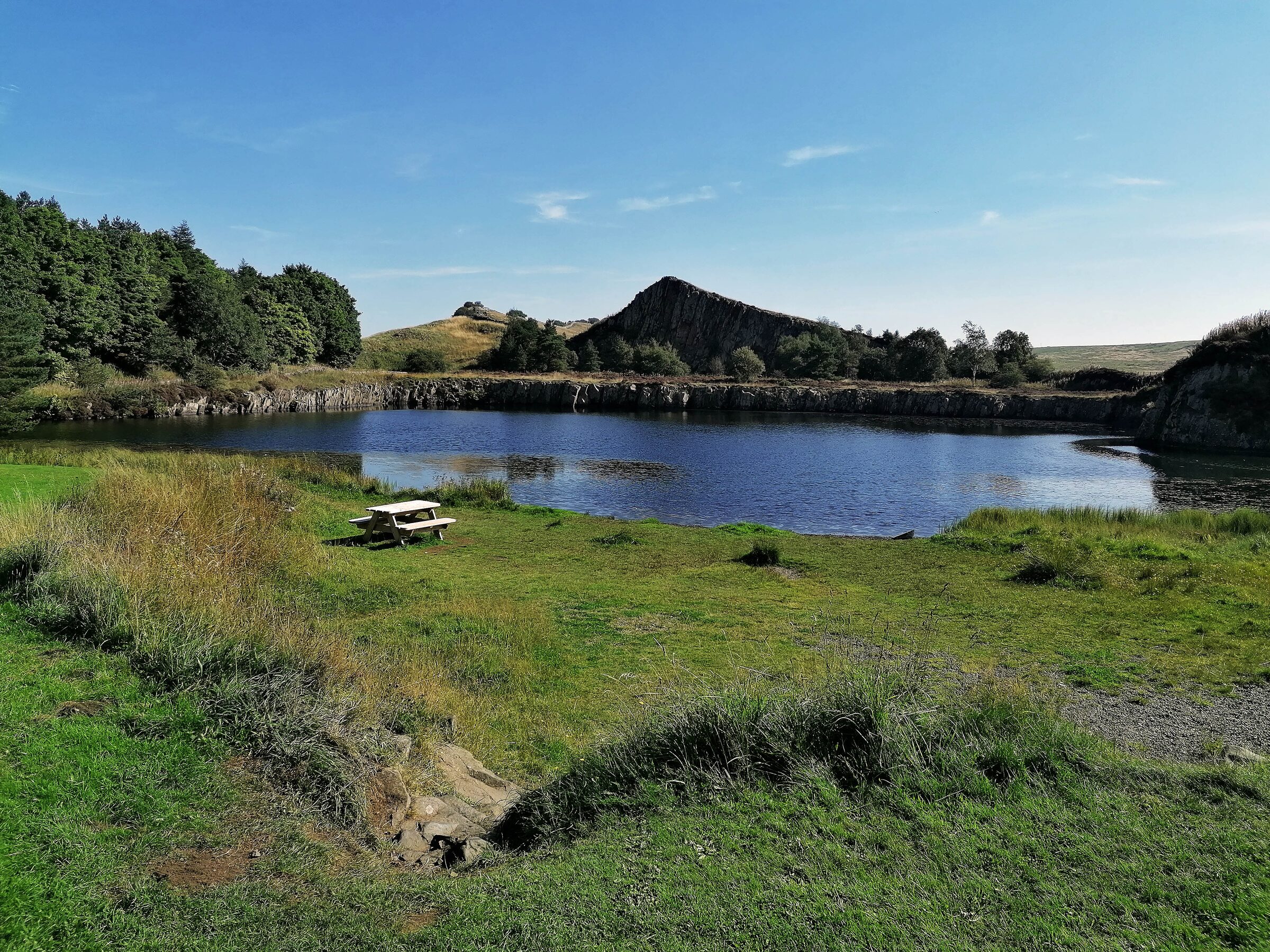
panoramic. There are a few small lakes and ponds to pass with wildlife and ice
creams to buy but the entire walk is an absolute pleasure. I’d also arranged
for our larger bags to be transported to our accommodation for that night so
only carrying a lighter bag was even better (I’m not sure I could’ve done it in
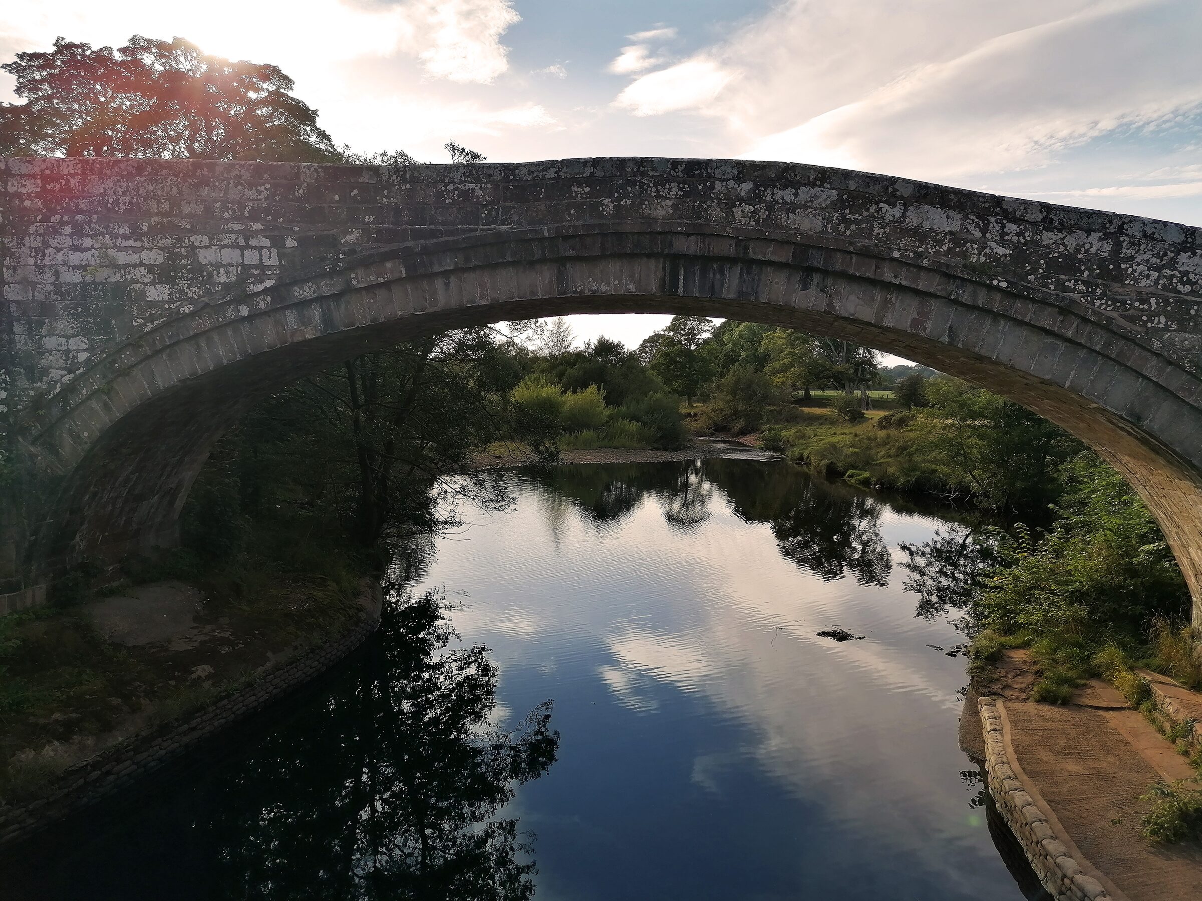
the heat with the big bag over 30km). We ended up in a small Air B&B in the
centre of Brampton after a colossal hike down the hill which really tested the
knees. The hardest bit was over.
Hadrian's wall pondHadrian's wall viewHadrian's wall hike elevation gain
Day 4 and the shortest walk of them all to Carlisle.
It started with a steep ascent to re-find the path (250m) but once there the
hike was a slow downward trajectory for the duration. The hot weather had
subsided by now and the cooler air made it easier to walk into the small city
of Carlisle at the other end. Depending on where you stay and how you organise
your trip, there will be long hiking days and short hiking days. This was
short, quick and not very eventful but it ended in seeing a film at a cinema in
Carlisle as it only took 3 / 4 hours to hike the 15km.
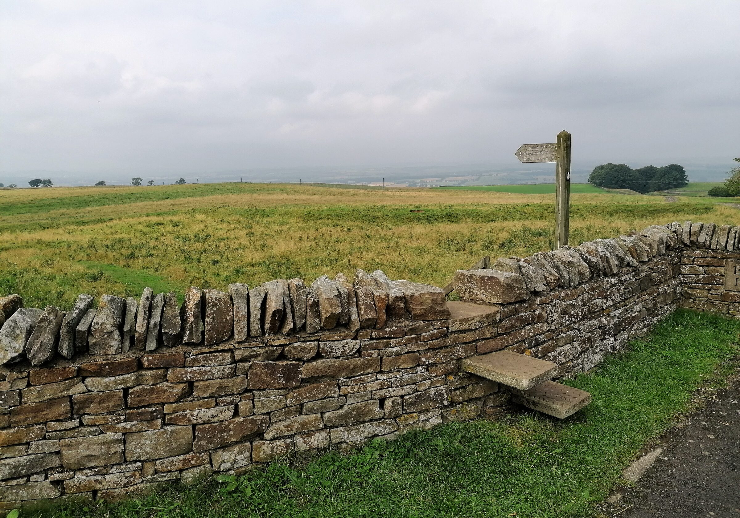
Wall sty
The 5th and final day of hiking was very
easy underfoot as there was very little elevation gain but was mostly along
roads and paths which made it a little boring at times. It was fun seeing all
the hikers starting their journey in the reverse direction to us as we
approached the end point but the cooler air was reminiscent of the start of the
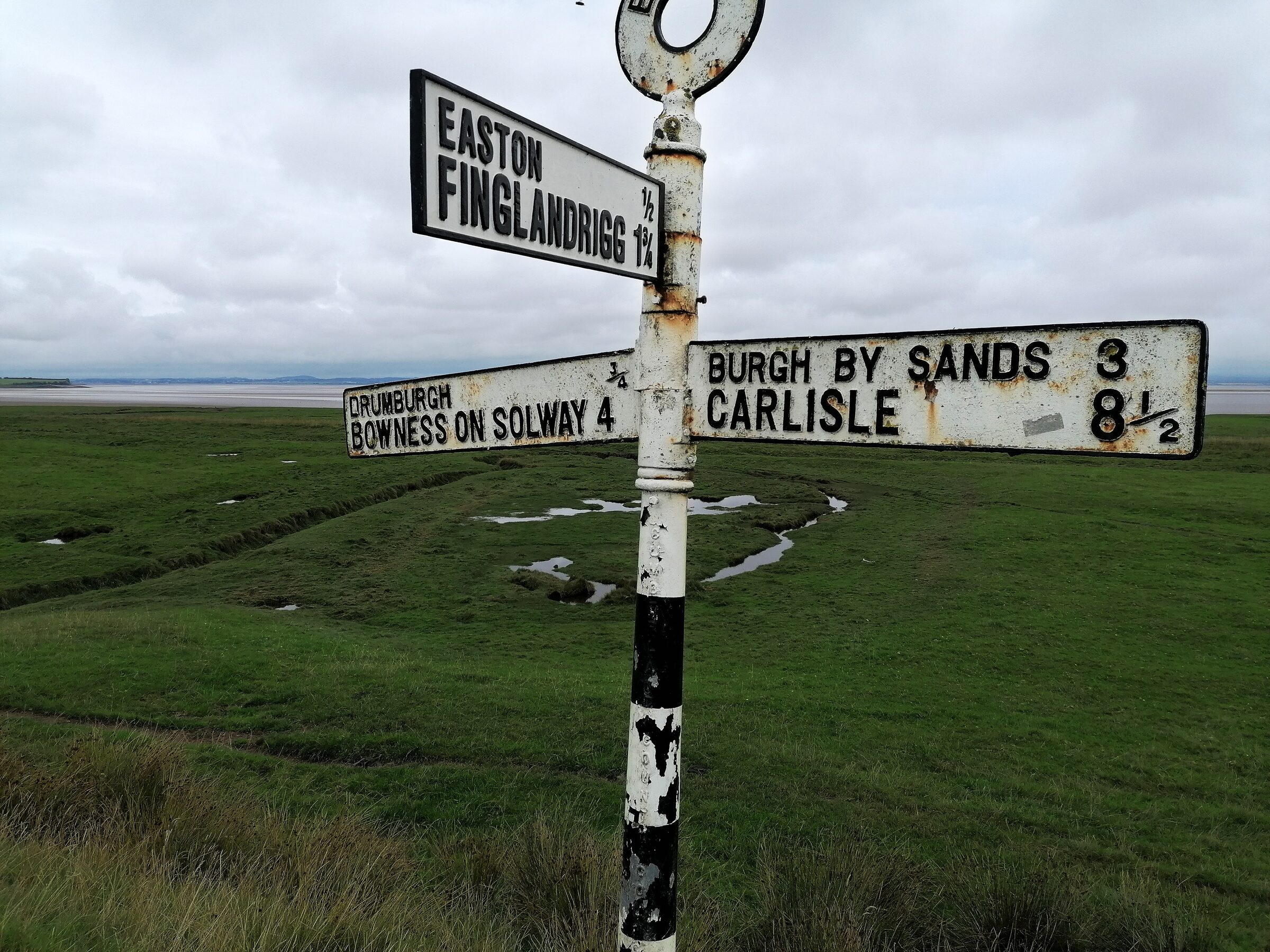
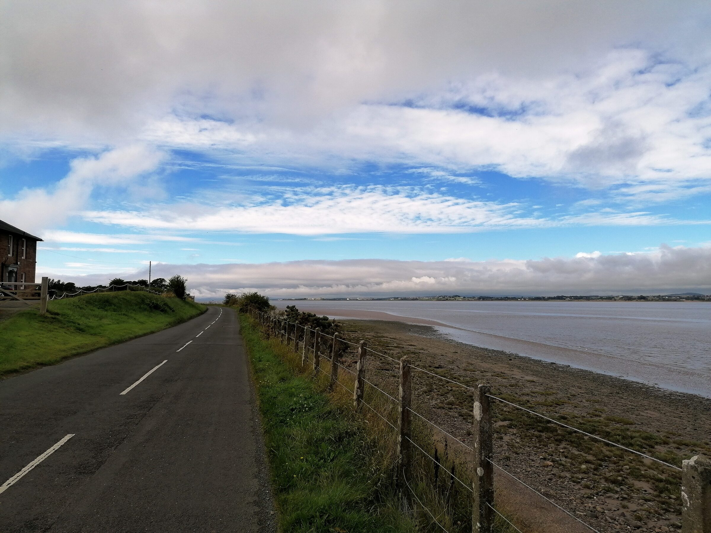
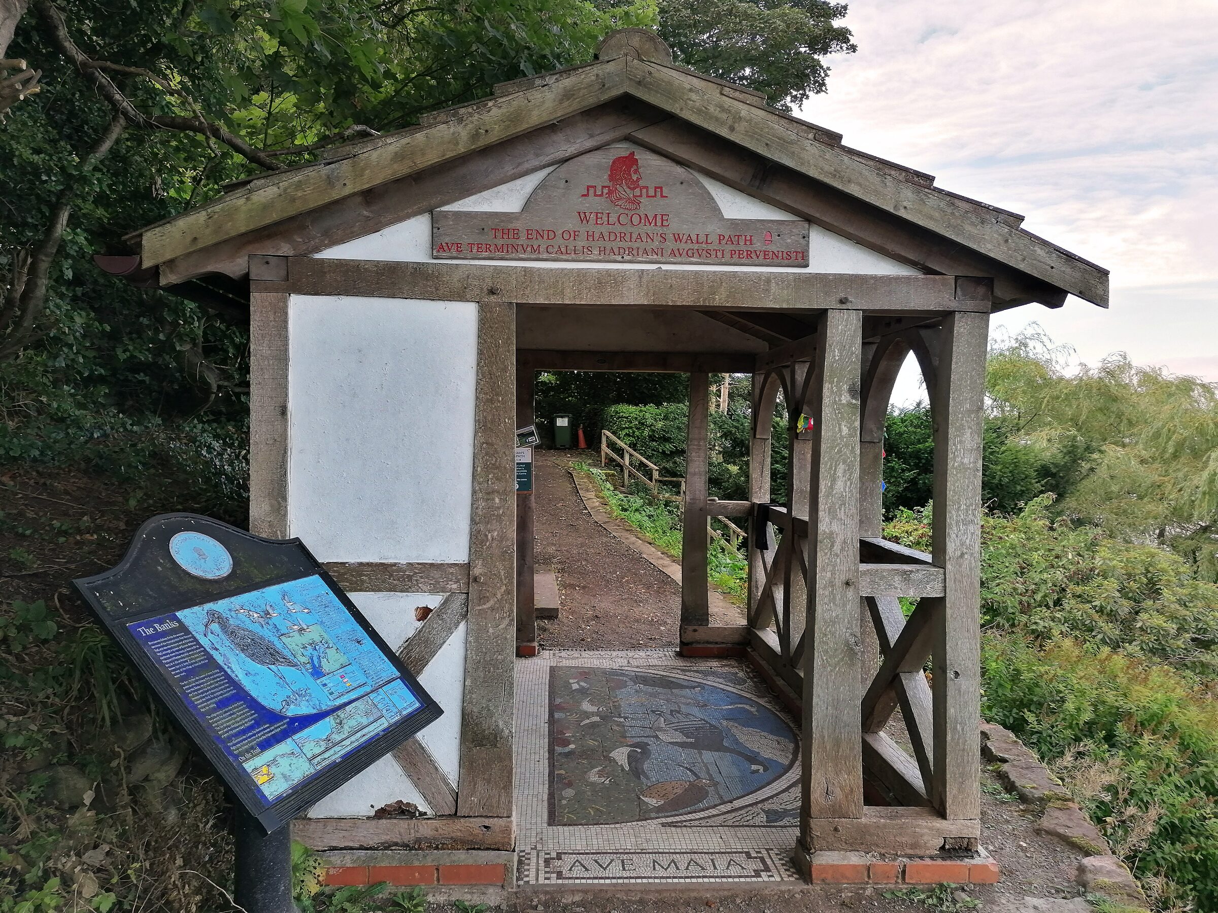
journey. The hike ends when you reach the sea and the plaque at Bowness which
says you’ve completed the 84-mile journey and then we (very hastily) got a taxi
back to Carlisle to get the train home. As we found out, the reason why most
people do the journey in the reverse way is because there’s absolutely no
public transport options to pick you up from Bowness on-Solway and take you
anywhere useful. There’s also very few places to stay there so unless you’ve
got someone to pick you up then you’re walking back the way you came!
Hadrian's wall bridgeLast day hikeEnd point
Hadrian’s wall is an absolute must-do for anyone who enjoys
a bit of adventure in the north of England but the first and last days aren’t
the best hikes you’ve ever experienced. Still, the whole thing in one go feels
like an achievement when you’re done. I even got myself a medal (even if it
does say 84 miles). Who’ll know?!
Mount Ngauruhoe
1 – Tongariro crossing - New Zealand (1 day, 20km)
The 1-day version of this hike starts at the end of Mangatepōpō Road and finishes
at the end of Ketetahi road
8 hours later (if all goes well). Whichever bus service or hiking company you
book transport with will tell you what time you’ll need to reach the end by.
The price for a return trip is now £55 per person for a pick-up and
drop-off from nearby Taupo but check the Pure
New Zealand website for more details.
We completed this world-famous hike in April which was late autumn / early winter in New Zealand which meant the hike was delayed for a few days due to bad weather but at the third try, we were picked up at 5 or 6am and driven 1.5 hours to the starting point. We’d planned some food options the night before (standard hiking snacks and water etc) and wrapped up warm for the 20km trek which has a total elevation gain of over 1000m.
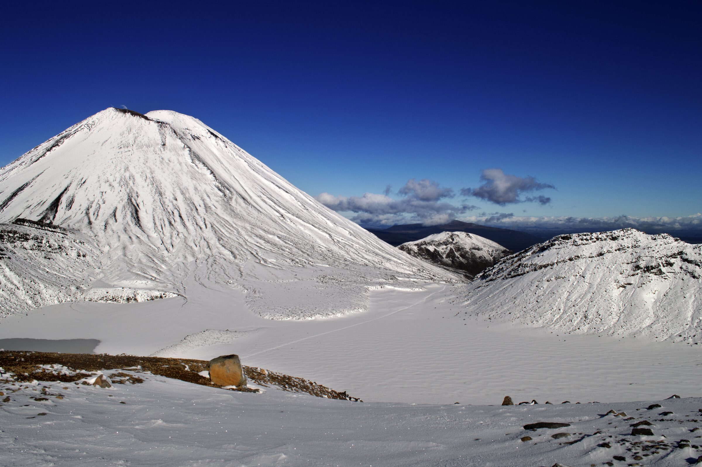
Mount Ngauruhoe valley
The hike starts along a dirt path with stunning early
morning views of the surrounding landscape. The terrain flattens into a plateau
shortly after the start, and you start to see the black rock of past volcanic
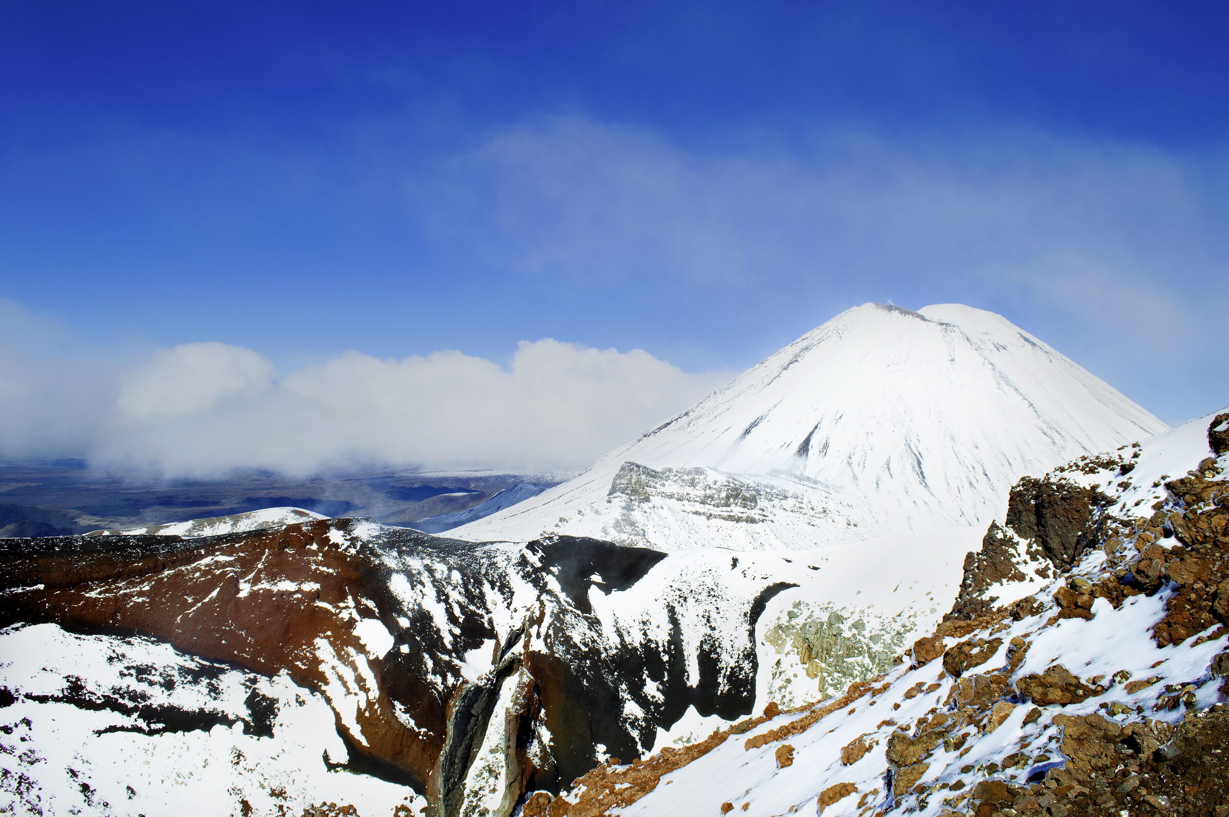
activity in the area while in the distance, the world-famous Mount Ngauruhoe
slowly starts to come into view. The nearly perfect conical shape of the
volcano inspired Peter Jackson to use it as the location for Mount Doom when
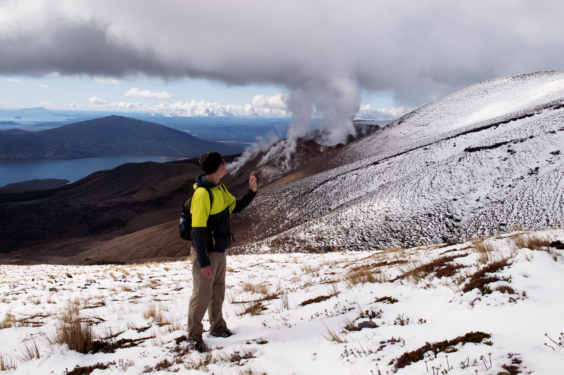
filming the Lord of the Rings trilogy and as we walked by, a blanket of snow
from the night previous had covered it, giving a once dark brown landscape a
shiny white glow.
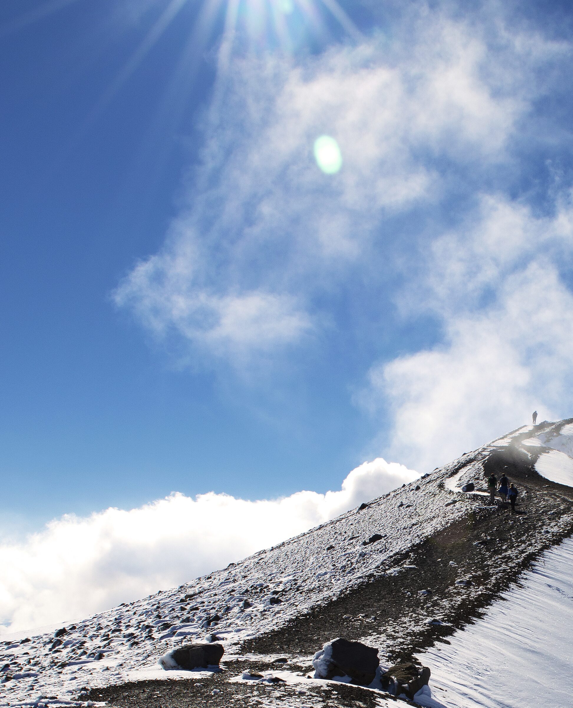
Top of the hike
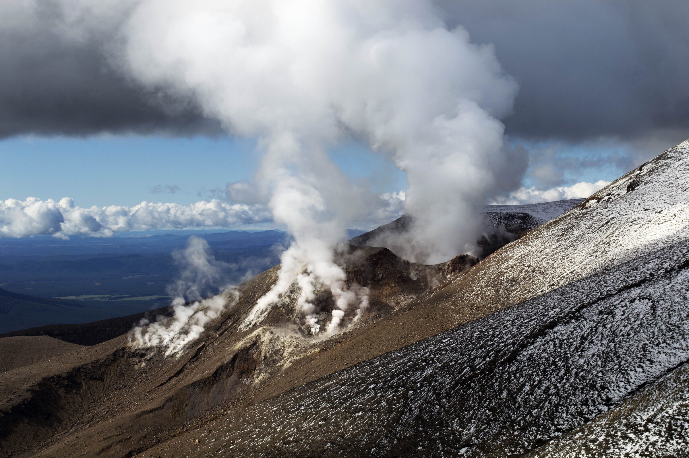
After this highlight, it was downhill to the end of the trek
where along the way sulphurous volcanic activity met clouds while brown
mountainside gave way to green pastures as the metres descended. Tough on the
knees but well worth the pain, this hike has everything from an adventure
point-of-view. The scenery is breathtaking and the view at the top is
otherworldly. No wonder it was used for Frodo and Sam’s adventures.
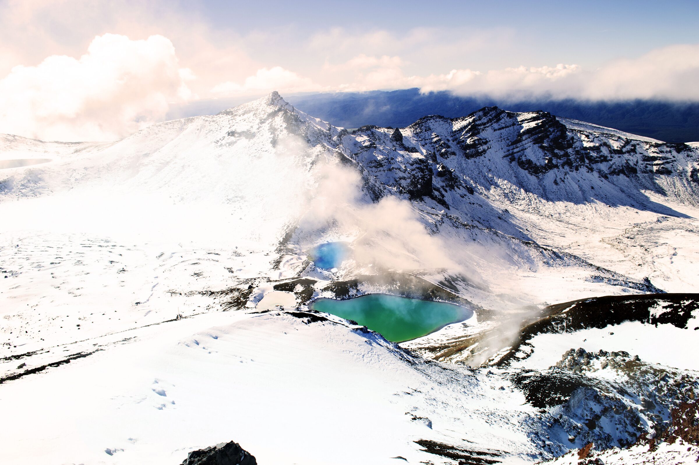
Emerald lakes
After a while, the trek starts to climb, and you’re
occasionally rewarded with stunning vistas of the plains below. After an hour
or so, you eventually arrive at the final ascent to the famous red crater which
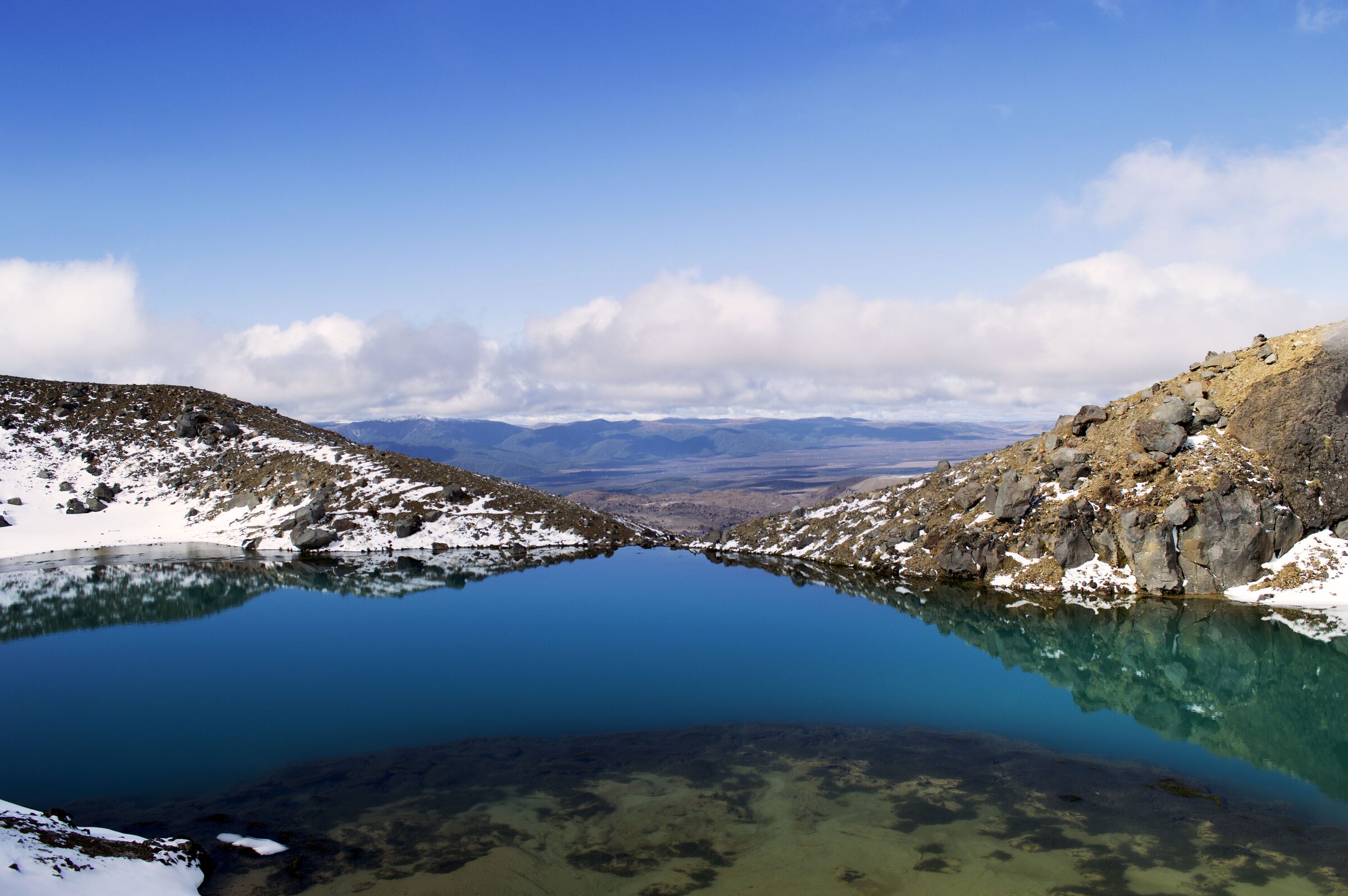
when we arrived was again blanketed in snow. From the top of this spot you can
see the staggeringly pretty emerald lakes for the first time and spend some
time just enjoying one of the best views in New Zealand with Mount Ngauruhoe
still visible from where you stand. As the snow had created a short ski run, we
slid down from the top of the red crater to see the emerald lakes up close, and
the gorgeous blue-green colour was delightful.
All of these hikes are achievable by the average hiker but all need to include pre-planning when it comes to places to stay and food to carry (especially the Hadrian's wall one). All three have really good infrastructure and sign posts cross the tracks as they are popular destinations. As mentioned above; if you're looking for something more adventurous, check out the Switzerland page on the famous 10-day 220km Haute Route. Remember: it's what you know, not who you know.